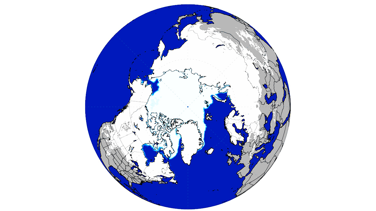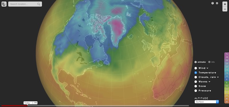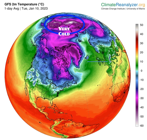
Snow Extent in the Northern Hemisphere now Among the Highest in 56 years Increases the Likelihood of Cold Early Winter Forecast both in North America and Europe
Snow extent in the Northern Hemisphere is much higher than average according to global estimates, and now among the highest ever observed. Winter forecast, especially in its early phase and in Europe, might be strongly influenced by such a large snow extent, although many other factors need...
Snow Extent in the Northern Hemisphere now Among the Highest in 56 years Increases the Likelihood of Cold Early Winter Forecast both in North America and Europe
By Author Renato R. Colucci
Posted on Published: 26/11/2022
Categories Global weather
Global Cryosphere Watch
Cryosphere Now: Snow
The most recent snow cover information is given below. They are generally 1-4 days old. Hover over a thumbnail to get the full image, description, and credits. Important: The products shown on the "Cryosphere Now" pages provide a variety of perspectives on the state of the cryosphere. They are for purposes of illustration and comparison and are not necessarily endorsed by GCW as "authoritative".
Ocean and Ice Services | Danmarks Meteorologiske Institut
Danmarks Meteorologiske Instituts hjemmeside for marin information
Northern Hemisphere Sea Ice extent
Total sea ice extent on the northern hemisphere during the past years, including climate mean; plus/minus 2 standard deviations. The ice extent values are calculated from the ice type data from the Ocean and Sea Ice, Satellite Application Facility (OSISAF), where areas with ice concentration higher than 15% are classified as ice.
The total area of sea ice is the sum of First Year Ice (FYI), Multi Year Ice (MYI) and the area of ambiguous ice types, from the OSISAF ice type product. The total sea ice extent can differ slightly from other sea ice extent estimates. Possible differences between this sea ice extent estimate and others are most likely caused by differences in algorithms and definitions.
Data set
The sea ice extent data is composed by a Climate Data Record (CDR, 1979-2015), an Interim CDR (ICDR, since 2015 with 16 days delay) and a daily product to cover the period between the ICDR and today. Clic here for a detailed explanation.
You can read technical and validation reports here.
looks to me as if sea ice is above the last five year average.
but you keep on waiting for that NOAA report.

 This illustration provided by researchers depicts Kap København, Greenland, 2m years ago. Photograph: Beth Zaiken/AP


