Montuno
...como el Son...
(2)- The origin of El Argar: steppes and Semites. We analyze the latest genetic study
As Cristina Rihuete has declared for ABC « An important point is that these steppe migrations have been considered as a conquest, an invasion, but our study shows that, although there is indeed an ancient ancestry , it is not a new generation, but rather it was hatching for several centuries. It is not about someone new who suddenly came and did something different ».
Indeed, steppe ancestry had been dominating Iberia for several centuries and, as geneticists David Reich and Carles Lalueza-Fox , from the Institute of Evolutionary Biology, had already announced, at that time they hadreplaced practically the entire male population , but they did not introduce a new culture, with the exception of the so-called " eastern bell-shaped glass ", but rather generally adopted the customs of the peoples already existing in the Copper Age .
In this regard and in order to explain this substitution, several theories have circulated that do not seem credible to us: a strange disease that only affected the male population? A sexual preference for the appearance of newcomers? In our view, only a process of conquest and violent elimination of men would make sense of all this and justify why the ancient Chalcolithic cities such as Moroccan LowThey so considerably reinforced their defenses with imposing walls and a large number of bastions around 2,500 BC , precisely the dates on which it is estimated that the descendants of the Yamnaya would begin to enter the peninsula. To this we add another 'coincidence': the human remains thrown into the ' fifth pit ' in Jaén which, if properly studied, could have been the key to detecting a violent invasion.
However, this data does not clarify the peculiarities of the Argaric culture: its funerary customs (individual burials in cista and pithoi ), its innovative defensive and urban architecture that breaks with the previous circular models, its undecorated and standardized ceramics, the strong stratification society with trousseaus never seen before such as diadems and dilators for the ruling class... a cultural model that does not resemble anywhere else on the western continent, so it would be difficult to attribute it to innovations introduced by the steppe shepherd-warriors.
For his part , Roberto Risch clarifies that the great surprise has been finding ancestors from the central and eastern Mediterranean .

Expansion of the Yamnaya steppe peoples 5,000-6,000 years ago and of the first Anatolian Neolithic farmers 8,000-9,000 years ago. Source: Wolfgang Haak for "The Conversation"

Expansion of the Yamnaya steppe peoples 5000-6000 years ago and predominant Y lineages - CSIC, Science magazine

Ideal reconstruction of the chalcolithic city of Moroccans Low (Jaén) by Narciso Zafra. Note the different lines of the wall with more than 100 calculated bastions

Vessel burial (pithos). Burial found in La Almoloya, Pliego, Murcia. Source: UAB/ASOME

Pieces of the trousseau found in tomb 38 at the La Almoloya site, Pliego, Murcia. Source: UAB/ASOME
"It is a component that we knew nothing about. While there were populations moving through Europe from east to west , there were also others that transited the Mediterranean . And these two migratory flows coincided in the peninsular southeast with a very dynamic and developed local population but apparently with some crisis. The three form the origin of El Argar."
(Robert Rich.)
.
.
Last edited:
 founders of El Argar from Canaanite lands (sister lineage E-V22 and paternal lineage E-Z1919) passing through Sicily (female lineage R0a). Modification of the authors of this article on map of Eupedia.com")
 from which the E-L618 found in El Argar comes from")


 with Argaric type wall and bastions. Source: Jim Black")
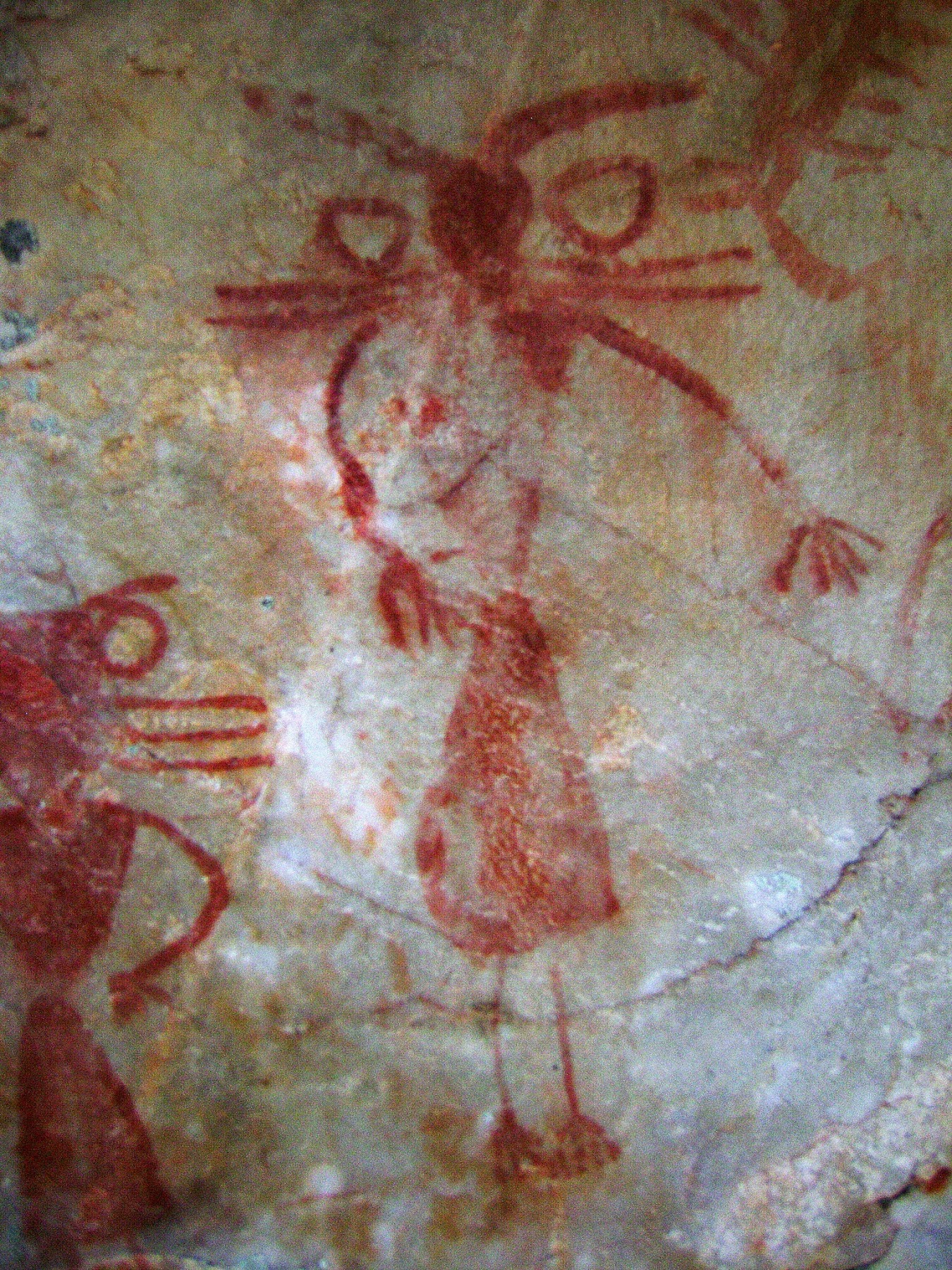
 in Sidon, Lebanon, 2nd millennium BC, mostly children under 13 years of age")

. Author: Carlos Quiles (2020). Legend about ancestors: Authors of this article.")